Request Information
Ready to find out what MSU Denver can do for you? We’ve got you covered.
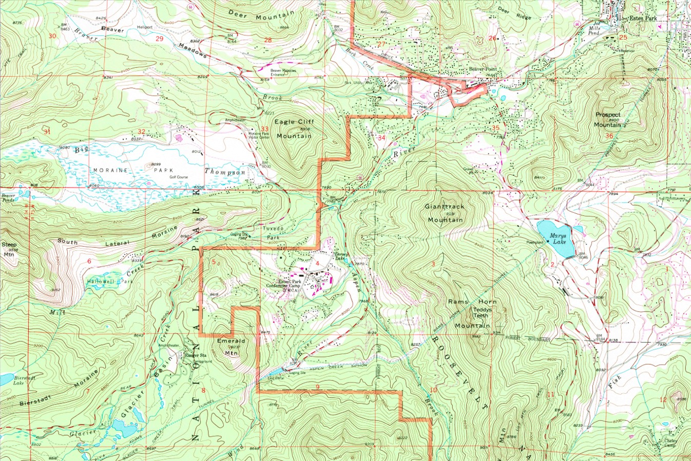
The Geographic Information Systems (GIS) emphasis in the Geography Program at MSU Denver provides students with the theoretical knowledge and technical training to become proficient in Geographic Information Systems (GIS), remote sensing, Global Positioning Systems (GPS), mapmaking and data management in order to define and solve problems in the real world. We offer a minor and certificate in GIS. Our Program includes a dedicated GIS open computer laboratory in addition to a GIS teaching lab, the latest software and devices for working with spatial data, and offers a wide range of classes to enable students to develop mastery in the discipline.
MSU Denver’s Geography-GIS emphasis will provide you with a deep understanding of Geographic Information Systems, which is the foundation of modern mapping and spatial technologies including GPS, web mapping and augmented reality.
GIS is used in almost every industry and field including environmental science, wildlife biology, criminal justice, anthropology, sociology, health information, and business analysis. As an MSU Denver Geography student emphasizing GIS, you will take classes in spatial modeling, GIS applications, cartography, visualization, spatial databases, GIS programming and GIS web mapping. Equipped with this knowledge combined with hands-on experience in advanced geospatial toolkits, you will develop skills that meet the demand for a fast-changing, high-tech GIS career.
Need GIS advising? Looking for degree requirements or courses?
Our GIS Faculty and Staff would be happy to help! Click below!
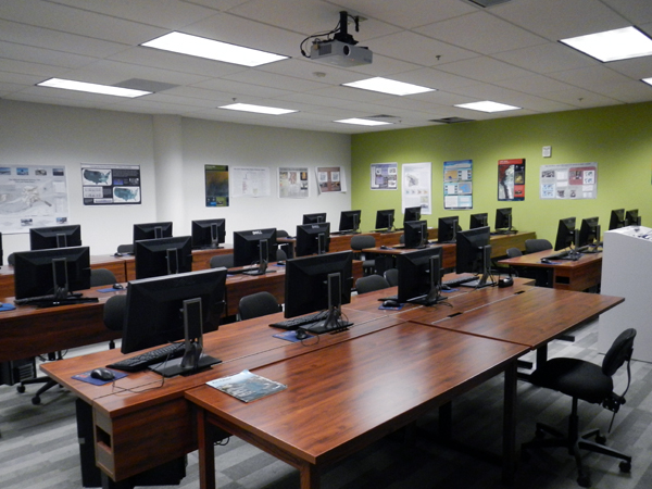
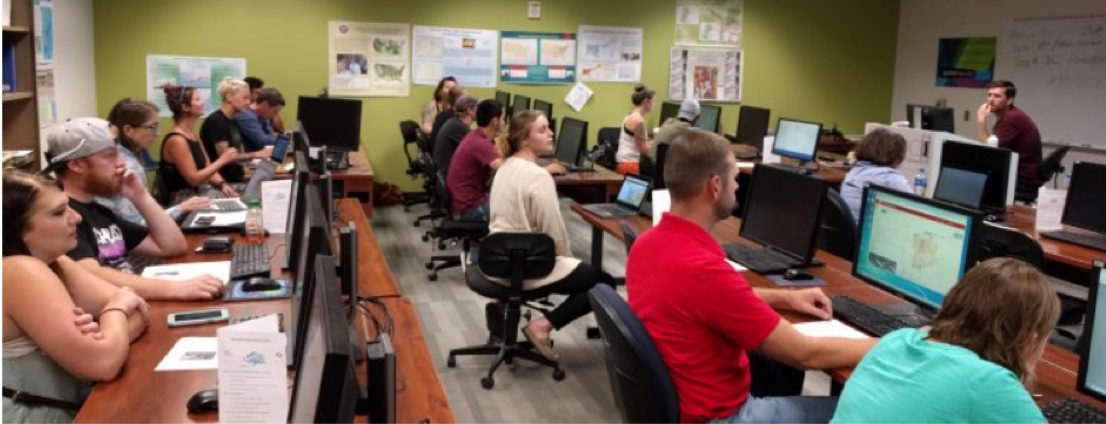
The MSU Denver Geography-GIS emphasis program has a dedicated GIS open computer laboratory in addition to a GIS teaching lab and the latest software and devices for working with spatial data. The program also maintains an active GIS Club, which presents hands-on workshops, mapathons, social gatherings and other events.
Geography-GIS emphasis open a world of opportunities. These are some careers you might pursue with a GIS degree:
Geographers are among the government officials, community leaders, activists, researchers, and business people who use data-driven research to develop solutions to complex environmental, social, economic, and political problems. Geography is unique in bridging the social sciences and the natural sciences, and in providing geospatial analyses of environmental and socio-economic problems. The program provides a foundation for understanding problems and implementing equitable solutions to improve the quality of human-environment dynamics. Engagement in environmental, social justice and ethical issues is facilitated through applied research and learning in the Denver Metropolitan Area. The Geography curriculum combines fundamental courses in natural and social systems and geospatial science with specialized electives within four disciplinary sub-fields – Political Economy Approaches to Sustainability, Geographic Information Science, Physical Geography, and Planning. Students have flexibility in choosing courses and pursuing their areas of interest. The major prepares students for professional careers in both the private and public sectors as well as for graduate studies.
The mission of the Geography Program is to:
Have a question? We can answer it!
Whether you have a question about a prerequisite, need help registering for a course, or you would like to chat about one of our majors, we are here to help. Click below to send us an email!
Email UsPhone: 303-615-1177
Email: [email protected]
Office Location:
Science Building
2nd Floor – #2028
Auraria Campus
Mailing Address:
Metropolitan State University of Denver
Department of Earth and Atmospheric Sciences
Campus Box 22
P.O. Box 173362
Denver, CO 80217-3362